Singapore 2027-2030: 8 Mega Changes That Could Redraw the Property Map
Singapore’s property map is shifting. Explore 8 major 2027–2030 changes across Woodlands, Jurong, Changi, Paya Lebar, East Coast and the southern waterfront.

Singapore’s property map is shifting. Explore 8 major 2027–2030 changes across Woodlands, Jurong, Changi, Paya Lebar, East Coast and the southern waterfront.
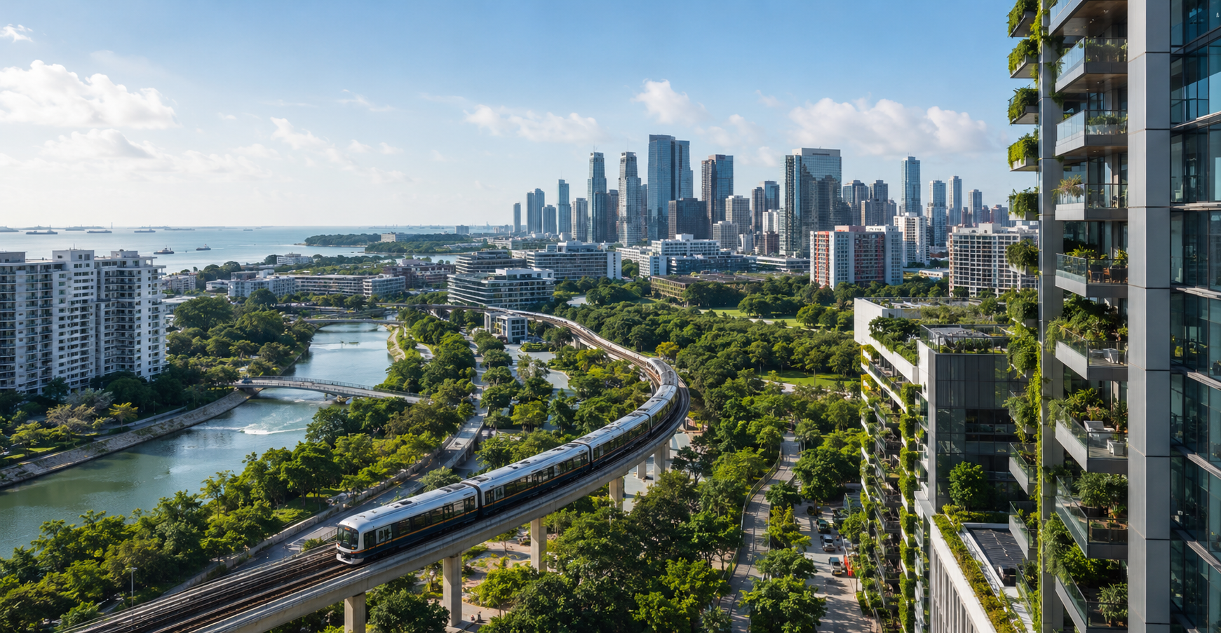
By 2030, Singapore may feel less like one city with a dominant centre and more like a network of powerful districts connected by rail, roads, green corridors and economic gateways.
For homeowners, buyers and investors, that matters. Property value is not created by distance to the CBD alone. It is increasingly shaped by jobs, transport, amenities, lifestyle infrastructure and future land use.
Inside this guide
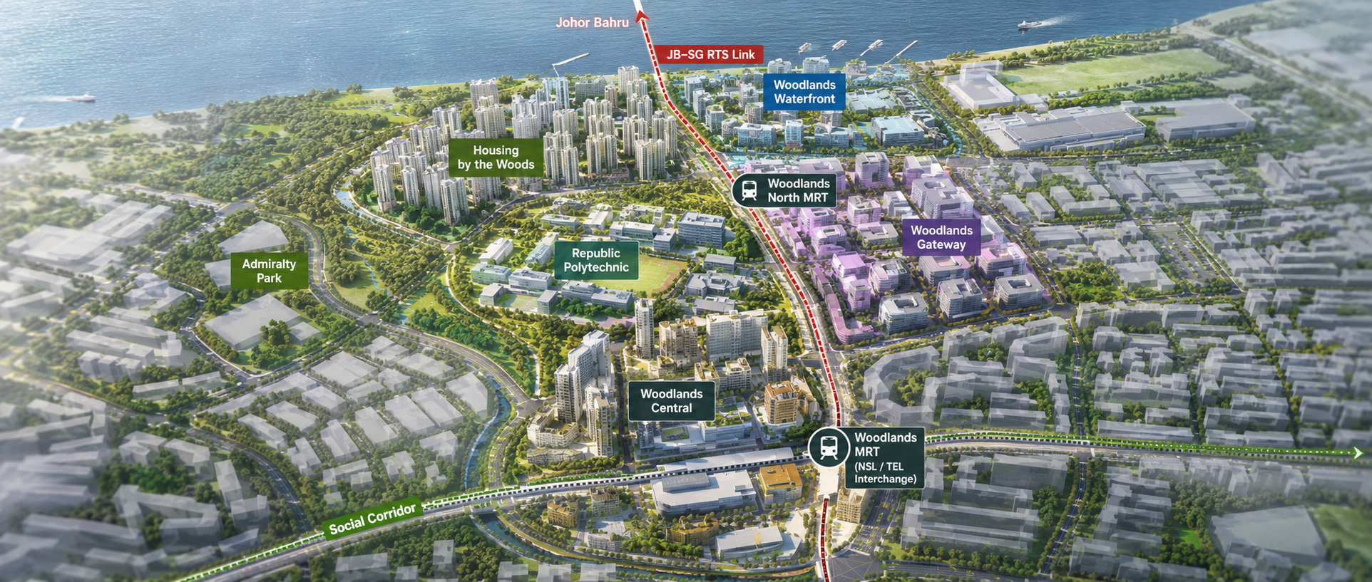
Woodlands is one of the clearest examples of how Singapore’s geography is changing. URA’s decentralisation strategy is strengthening northern, eastern and western gateways so jobs and amenities sit closer to homes rather than clustering around the traditional downtown core.
The upcoming Johor Bahru–Singapore RTS Link and planned Woodlands Gateway add a cross-border economic layer. For property buyers, the interesting question is no longer simply, “How far is Woodlands from Orchard?” It is increasingly, “What will Woodlands itself become?”
Singapore’s west is evolving beyond its industrial identity. Jurong Lake District, Tuas Port and new Cross Island Line connections are creating a broader mix of employment, logistics and transport activity.
That does not guarantee automatic property appreciation. But when homes, jobs and transport converge, locations can become more self-contained. Buyers should watch whether future projects translate into real daily convenience rather than simply impressive maps.
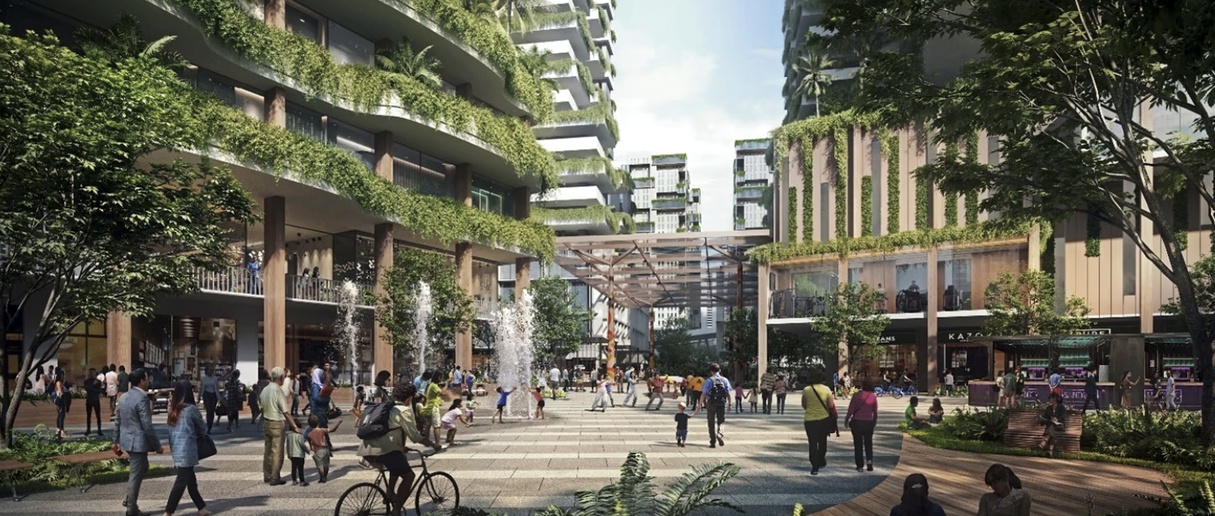
Jurong Lake District and western Singapore transformation with new transport, jobs and residential development
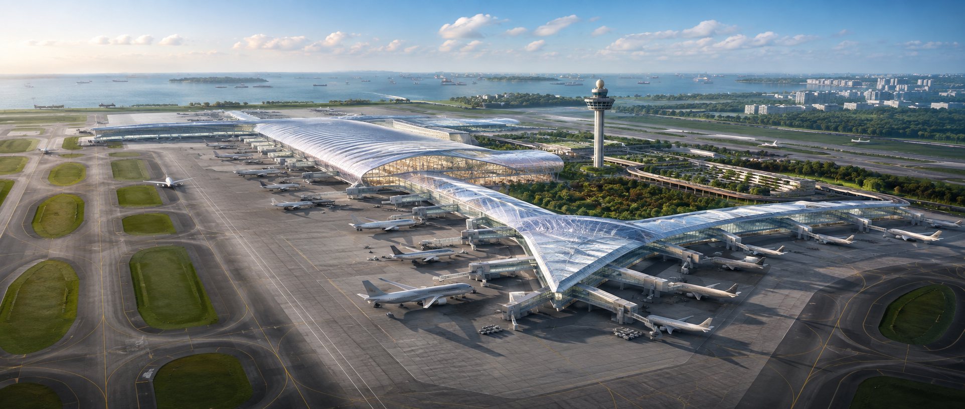
Terminal 5 is expected to reinforce Changi’s role as a global aviation hub when it opens in the mid-2030s. URA already identifies Changi as a key eastern economic gateway.
For homeowners, the larger story is employment. Aviation, logistics, hospitality and supporting businesses create demand far beyond the airport perimeter. As the east gains more jobs, the old assumption that “central is always better” becomes increasingly debatable.
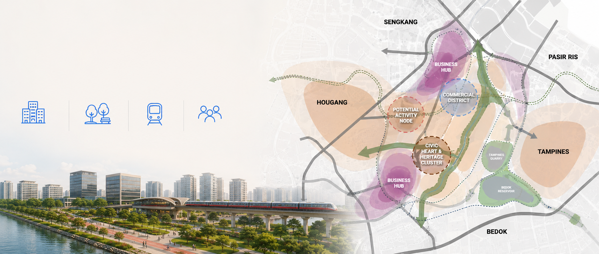
Paya Lebar Air Base will relocate from the 2030s onwards, freeing a huge site for a new mixed-use town. URA envisions homes, workplaces, green and blue networks, stronger links to surrounding towns and preservation of selected aviation heritage.
This transformation will take decades, so it should not be marketed as tomorrow’s hotspot. But its scale matters because it can reshape the relationship between Hougang, Defu, Tampines, Bedok and the wider east.
East Coast may eventually change physically, not just economically.
Preparatory works for Long Island begin from end-2026. Around 725 hectares of sea space are involved, roughly twice the size of Marina Bay. The project is intended to strengthen coastal protection, create a future reservoir and provide land for longer-term needs.
Detailed land uses remain under study, so buyers should resist speculative conclusions. Still, few Singapore projects have the potential to alter an established coastline on this scale.
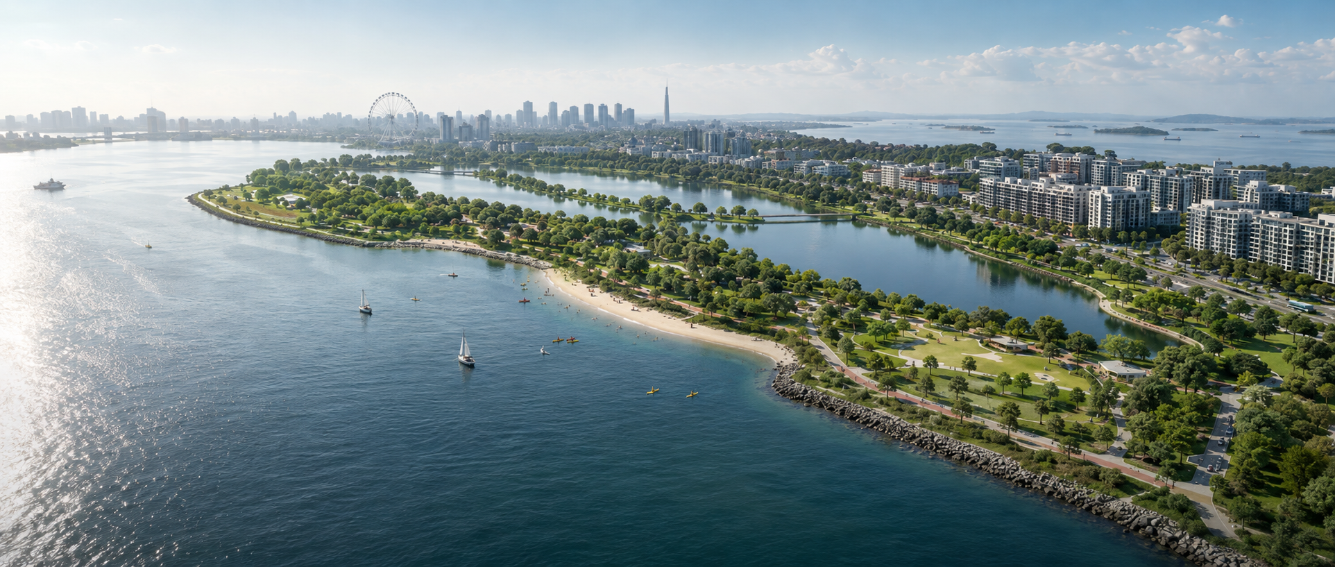
The Greater Southern Waterfront story is becoming more tangible. Port operations at Brani, Keppel and Tanjong Pagar are moving to Tuas, opening the way for new uses.
In 2026, plans were announced for improved access to Sentosa’s western coast and a new Downtown South resort on Pulau Brani. Brani and Sentosa are expected to become a more integrated destination over time.
For property watchers, this reinforces the south as a long-term lifestyle and mixed-use transformation belt rather than simply a collection of isolated redevelopment sites.
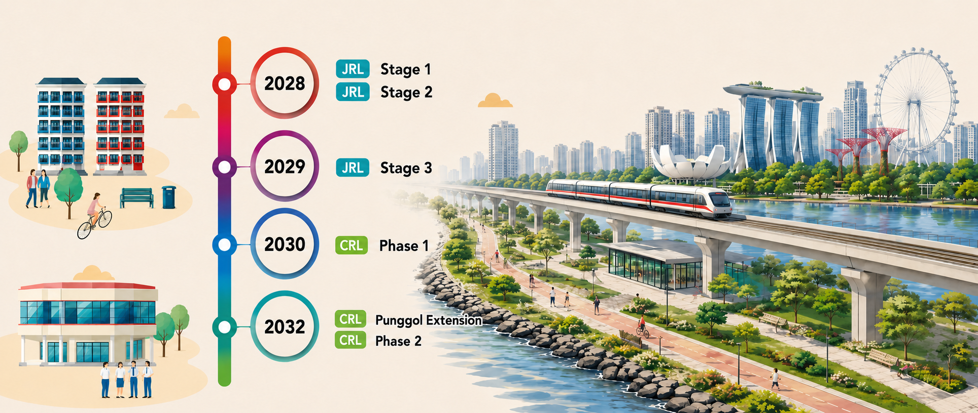
The North-South Corridor begins opening in phases from 2027. Its northern viaduct is targeted for 2027, with the remaining tunnel section expected in 2029. Beyond cars, the corridor will introduce bus-priority measures, cycling infrastructure, wider walking spaces and greener surface streets.
Closer to the city, new roads are also planned by end-2030 for the emerging Paterson neighbourhood, where about 1,000 private homes are planned near Orchard.
Accessibility increasingly means MRT + road + bus + cycling + walkability, not simply distance to one station.
Singapore’s Green Plan targets one million additional trees by 2030, more nature parks and park connectors, and a goal for every household to be within a 10-minute walk of a park.
Meanwhile, the Green Building Masterplan targets 80% of buildings by gross floor area to be green by 2030, alongside stronger energy-performance ambitions.
For buyers, greenery, walkability and building efficiency may become increasingly important components of location quality rather than decorative extras.
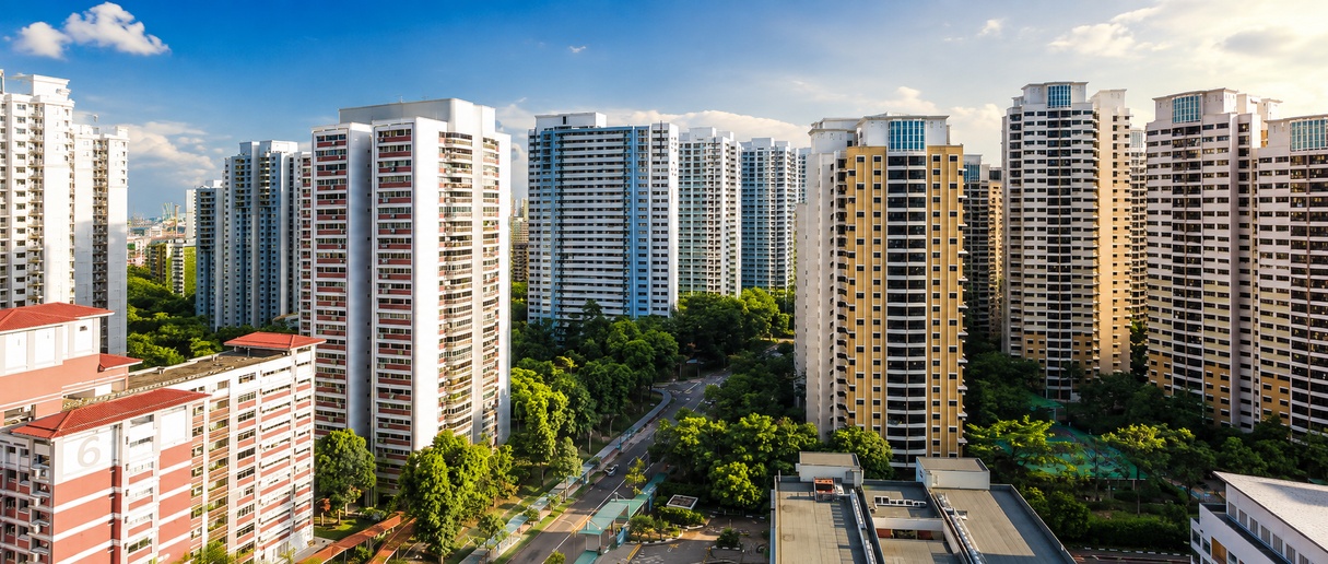
The most interesting locations are not automatically those with the biggest announcement.
We should ask five questions:
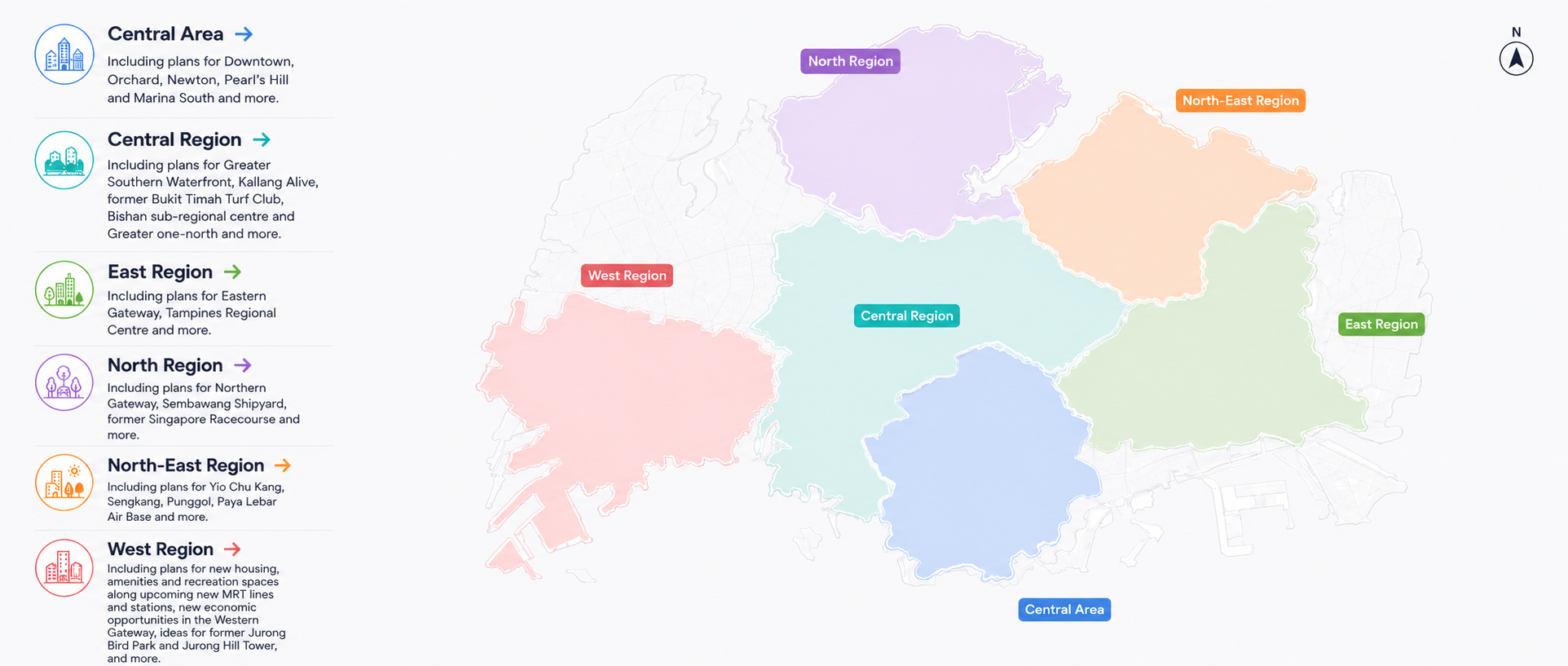
A new MRT station can improve accessibility. A business district can alter employment patterns. A waterfront transformation can improve lifestyle appeal. But no single infrastructure project guarantees investment returns.
The smarter approach is to compare today’s transaction data with tomorrow’s infrastructure story.
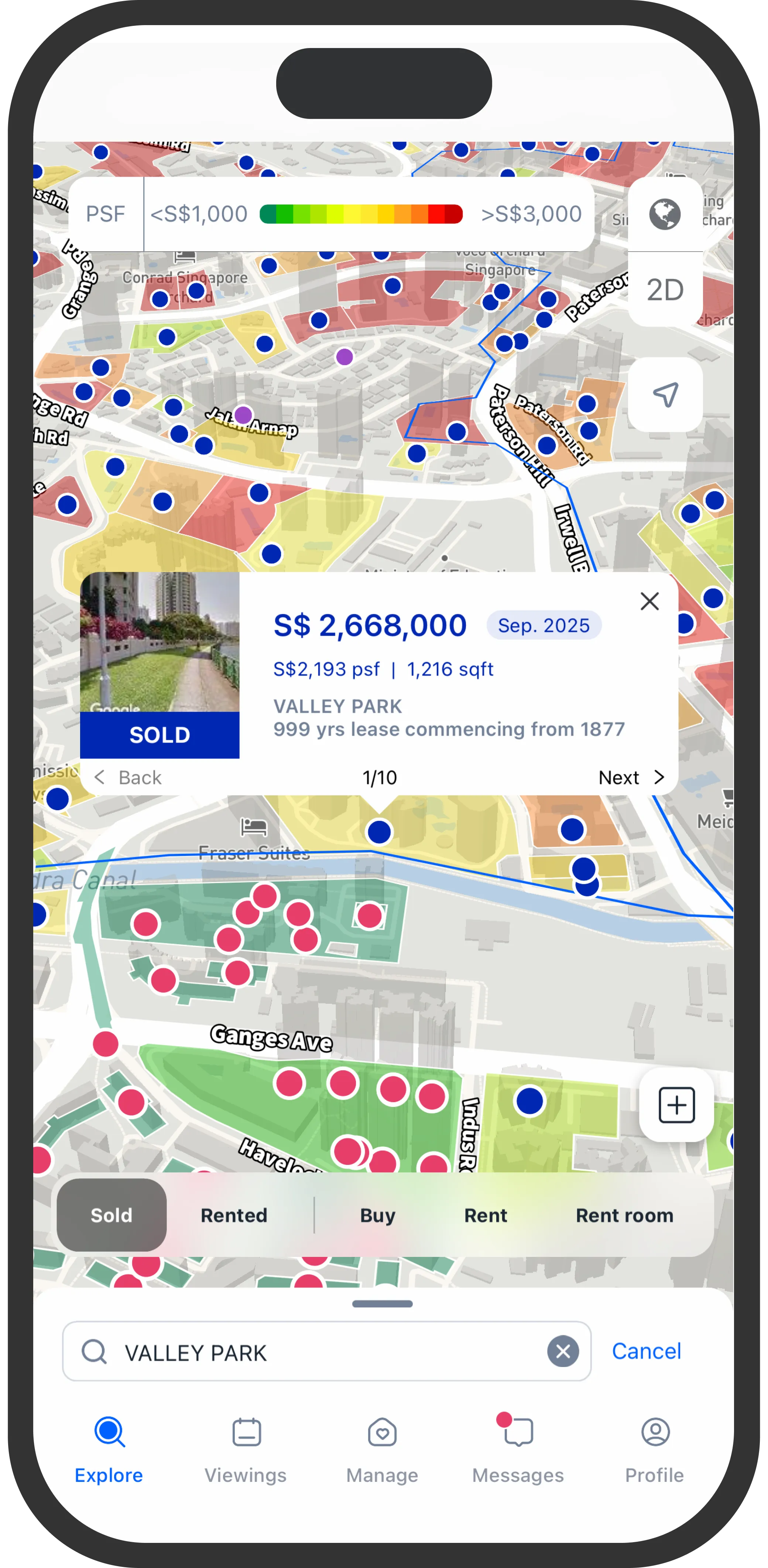
Kucing’s Price Map helps buyers and owners explore nearby transactions and understand how different neighbourhoods are actually trading today, before paying tomorrow’s price for tomorrow’s promise.
From price insights to viewings and offers, Kucing helps owners, agents, buyers, and tenants move through property decisions with more clarity and control.